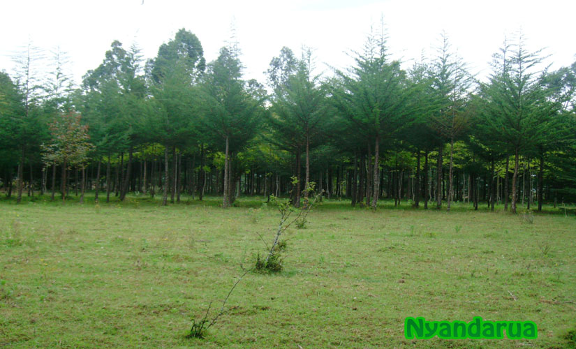
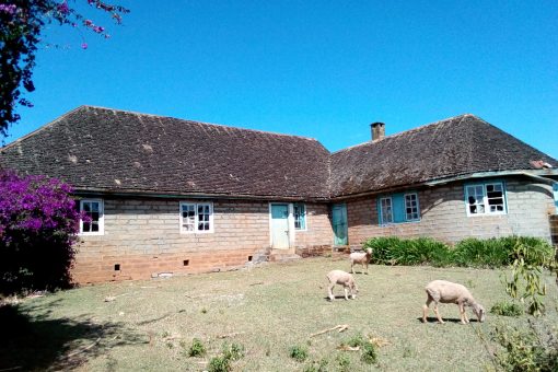
Nyandarua is my home. It is beautiful with gently rolling hills, extensive prairies, heavily wooded areas and plenty of rain. It is a land blessed with rich soil that yields bountiful harvests that feeds its people to their fill with plenty left to share.
Our livestock thrives on the mineral rich grasslands where they roam free, making their meat taste like no other. The milk is rich and creamy, a cup of tea is like a scrumptious feast in your mouth every time, guaranteed. The temperatures are cooler than most parts of Kenya but the Nyandarua people make up for it with their warmth and exuberance.
As you sit around a roaring fire at the end of a busy day, you feel you are truly Home. That is my Nyandarua, my Home.
Some Nyandarua Background: Nyandarua is home to the scenic Aberdare Ranges, from which it derives its name. The locals felt the ranges appeared like a drying “pegged hide” – ruuwa rwambe in Kikuyu language, due to the distinctive fold of its silhouette. The Aberdares are 160 kilometer long mountain range with a maximum elevation of almost 4,000 meters or 13,120 feet above sea level. To put this in perspective, Mount Kenya, that lies east of the Aberdare Ranges is 5,199 meters high or 17,057 feet above sea level and it is the second highest mountain in Africa after Kilimanjaro.
The Aberdare forms a section of the Eastern rim of the Great Rift Valley running from north to south. To the west, it falls off sharply into the Kinangop Plateau, then into the Great Rift Valley. It slopes more gently to the east. Climbing to its peaks, you can see Lake Naivasha and the Mau Escarpment in the distance. The highest peak of the Aberdare is Mount Satima which means “the mountain of the bull” in the Maasai language, towering at almost 4000 meters or 13,120 feet above sea level. The second highest is Mount Kinangop at 3,906 meters or 12,815 feet.
The Aberdares are heavily forested making them the water catchment area for Sasumua dam and the Ndakaini dam, the two major providers of water for the city of Nairobi. The forests are also catchment areas for Tana River, the largest river in Kenya that supplies water to the Seven Forks Hydro electric power complex that generates over 55 percent of Kenya’s total electricity output.
The Aberdare forest is the largest indigenous forest in East Africa. It has remained largely protected within the Aberdare National Park that was founded in 1950 for the preservation of the forest and its wildlife. There is an annual event called The Rhino Charge, ran by conservationists who raise funds and awareness for the protection of this precious Nyandarua natural wonder. The Park contains a rich diversity of vegetation. It is home to almost 800 vegetation and plant species, subspecies, hardwood trees like camphor, cedar, podo and hagenia, dense bamboo forests and moorland, all thriving effortlessly due to the parks altitude and rainfall. The Range attracts a lot of hikers and climbers, both local and international.
The Aberdare forest is home to a variety of wildlife. Multitudes of elephants, buffaloes, giant forest hog, the endangered black rhino, leopards, rare African golden cat, threatened species including Jackson mongoose, the black and white colubus monkey, plenty of Sykes monkey, waterbuck, reedbuck, duikers, serval cats and bushbucks.
The Aberdare Ranges were named by Joseph Thomson in 1884. Thomson was a young Scottish geologist and explorer who named the scenic mountain range in honor of a British Baron named Lord Aberdare, who was the President of the Royal Geographical Society and the Royal Historical Society at the time. Thomson was the same young explorer whom Thomson Falls, the magnificent 243 feet waterfall in neighboring Nyahururu was named after.
The Aberdare forest was also well known as the headquarters of Dedan Kimathi, leader of the 1950s Mau Mau Uprising. Other great and fearless fighters like General Kago and others also fought from the sanctuary of the Aberdare forest.


